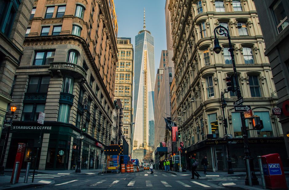
Planning documents for a proposed residential development on Clonliffe Road in Drumcondra went out last spring with a photograph of a street in Birmingham. Nobody in the council caught it before the public consultation closed. Residents who showed up to the meeting at the Drumcondra Community Centre noticed immediately.
The error, one of a string of so-called duplicate or replacement image incidents in Dublin City Council planning files over the past eighteen months, has become a flashpoint for something larger. People living in affected neighbourhoods say the use of stock photographs, recycled images, and placeholder visuals in official documents is not a clerical nuisance. They say it changes how communities understand and respond to plans that will reshape their streets for decades.
A pattern across the city
Similar complaints have surfaced in Inchicore, where residents engaged with a local area plan that included a photograph of a canal-side development clearly taken outside Ireland. The Inchicore Transformation Steering Group, a community body that has been active since 2021 in engaging with the Ireland West Road corridor proposals, raised the matter formally with the council's Planning Department in March 2026. A written response acknowledged the image had been incorrectly substituted during document compilation.
In Stoneybatter, a draft environmental impact report circulated in February 2026 in connection with a protected structure on Manor Street contained a repeated image used twice in separate sections, with different captions describing what were supposedly two distinct site conditions. Locals on the Stoneybatter and Smithfield Residents Network flagged the duplication at a public session held in the Cobblestone pub's meeting room.
Community responses range from frustrated bemusement to something sharper. People who attend these consultations are often doing so on a weeknight after work, having printed documents at home and read them carefully. When images don't match the sites being described, it erodes confidence in the underlying analysis. Several residents in Drumcondra described a creeping suspicion that documents are being produced quickly and checked slowly, if at all.
Why it matters beyond aesthetics
Ireland's Planning and Development Act 2024, which took effect in phases through 2025 and into this year, places greater emphasis on meaningful public participation in the development management process. The legislation specifies that consultation materials must accurately represent the subject site and surrounding context. Errors of the kind residents are describing could, in principle, expose an approval to legal challenge on procedural grounds, a point raised by at least one community legal clinic operating out of the Capuchin Day Centre on Bow Street.
Dublin City Council processed more than 4,200 planning applications in 2025, according to figures published in the council's annual report released in April 2026. Even a small percentage of those files containing image irregularities amounts to a significant volume of potentially confusing public documentation. The council has not published a specific audit of image accuracy across its planning archive.
Practical guidance for residents navigating the issue is thin. Community advocates recommend cross-referencing any site photograph in a planning document against Google Street View or Ordnance Survey Ireland mapping before a consultation closes. The Planning Regulator's office, established under the 2021 planning reform programme, accepts formal observations, though responses can take months.
Several Drumcondra residents say they intend to submit a formal request to the council's Planning Department asking for a review policy on image verification before public documents are published. The closing date for observations on the Clonliffe Road scheme is 18 July 2026. For many who live within a few hundred metres of the proposed site, that deadline feels uncomfortably close.